-
Program:
Mixed Uses
-
Status:
Concept and Schematic Design
-
Area:
22,72 ha
- Location:
-
Downtown Ciudad Celeste proposes a new urban center to support the growth of Nuevo Samborondón, integrating public space, landscape, and a balanced mix of uses to consolidate a true urban core.
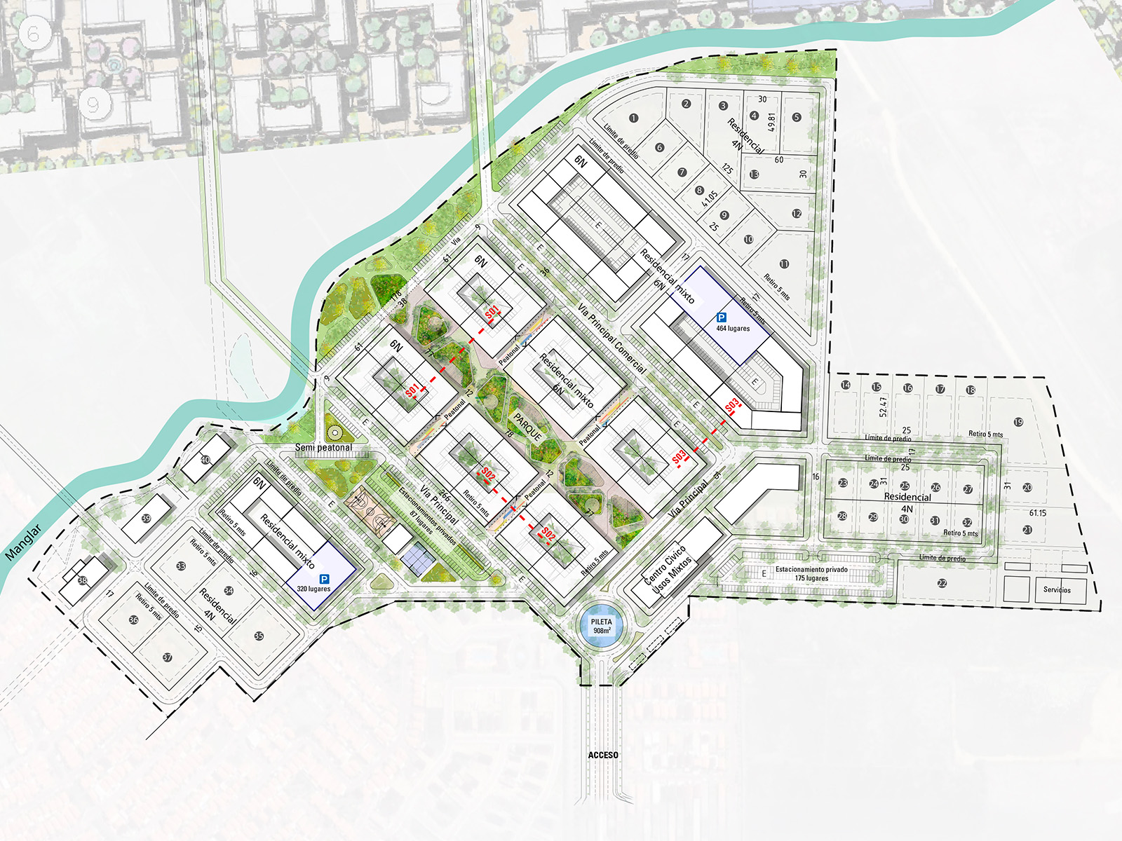
Downtown Ciudad Celeste is a mixed-use concept design located in Guayaquil, Ecuador, conceived to establish a new urban center within one of the fastest-growing areas of the metropolitan region. Set on a 22.72-hectare site, the project responds to the evolution of Ciudad Celeste by incorporating the programs, public spaces, and urban infrastructure required to create a new center capable of bringing together activity, social interaction, and everyday life.
The proposal is developed in dialogue with the Nuevo Samborondón Land Use Plan, integrating with the urban structure envisioned by the municipality and anticipating the sector’s future growth. Rather than simply occupying an available site, the masterplan seeks to become an articulating piece between the consolidated city and new areas of expansion, strengthening the continuity of the urban fabric and contributing a long-term vision for development.
The project brings together a diverse program of housing, retail, offices, services, and amenities within a compact and walkable model, where proximity between functions reduces the need for travel and promotes a more efficient urban environment. The mix of uses is not driven solely by a Real Estate strategy, but by the ambition to create an active urban center capable of sustaining activity throughout the day and providing new gathering spaces for the community.
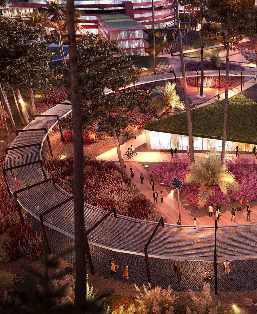
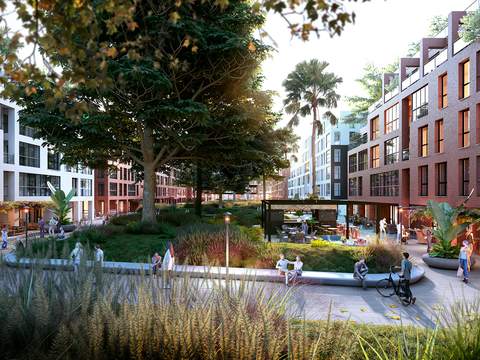
The urban structure is organized around a large central park that forms the heart of the project. More than a green space, the park acts as the organizing element of the development, distributing the different programs and structuring the urban experience while establishing visual and functional relationships between the various components of the project.
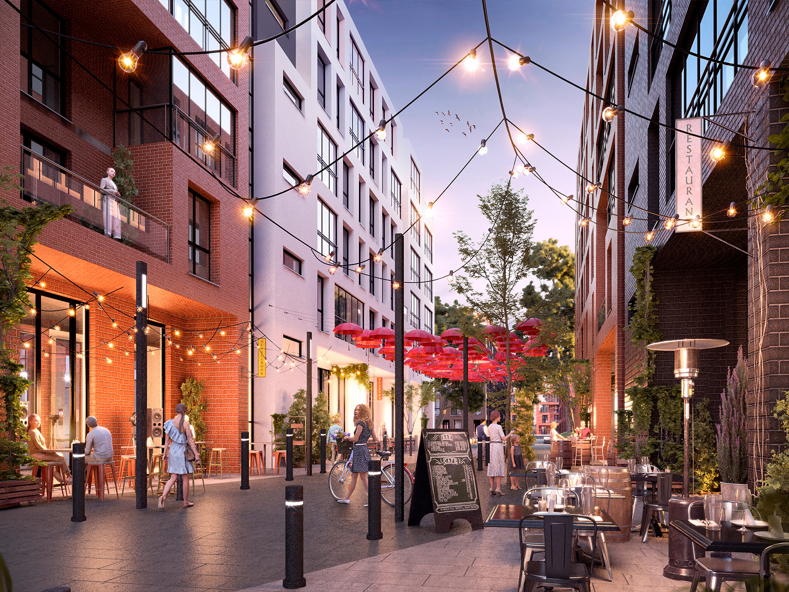
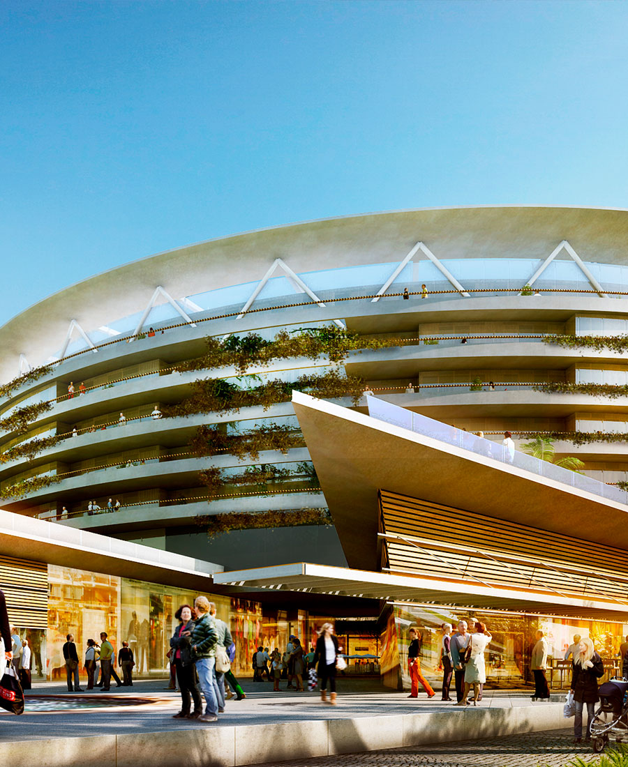
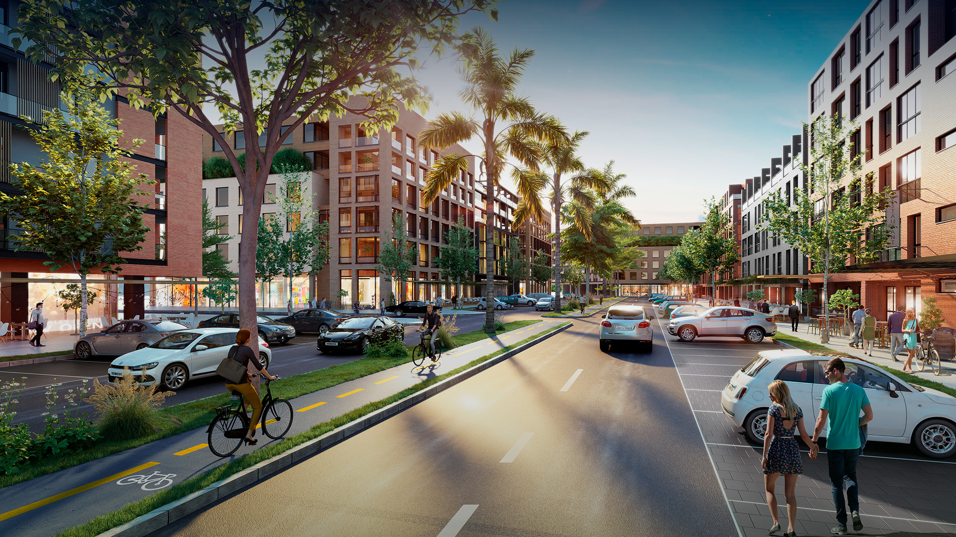
From this central space, a continuous network of plazas, pedestrian streets, bike lanes, and a commercial boulevard extends throughout the development, structuring everyday activity. The boulevard concentrates the highest level of urban intensity through active ground floors, wide tree-lined sidewalks, and routes designed to prioritize pedestrians and active mobility.
The site plan establishes a clear density gradient that mediates the transition between the new urban center and the surrounding residential areas. Higher-intensity buildings are concentrated around the park and boulevard, where mixed-use blocks rise between four and five stories and create a continuous urban frontage. As the project approaches the edges of the site, building heights gradually decrease to incorporate smaller-scale residential typologies, allowing for a natural integration with the existing urbanization and future development areas.
The blocks are organized as open urban blocks with internal courtyards that provide daylight, ventilation, and shared spaces for residents and users. This configuration creates views toward the park, enhances permeability throughout the development, and enables a compact urban fabric without compromising environmental quality.
Commercial ground floors are an essential component of the urban strategy. Their placement along the boulevard and the main pedestrian routes ensures active frontages and a continuous relationship between architecture and public space. In the central area, offices and housing are arranged above the commercial podium, around the park and along the boulevard, creating mixed-use buildings capable of accommodating different activities and sustaining the district’s vitality throughout the day.
Landscape plays a structural role within the masterplan. The creek and mangrove that define part of the site are no longer treated as residual edges, but are integrated into the public-space system through a linear park that follows the watercourse and expands the network of green spaces.
Mobility follows an approach in which pedestrians are given priority. The network of commercial streets, pedestrian promenades, and bike lanes encourages short and safe journeys, while vehicular circulation is incorporated in an organized manner through parking concentrated at specific locations and strategic areas within the development. This decision frees ground floors and urban frontages for active uses, improving the quality of public space and strengthening the overall urban experience.
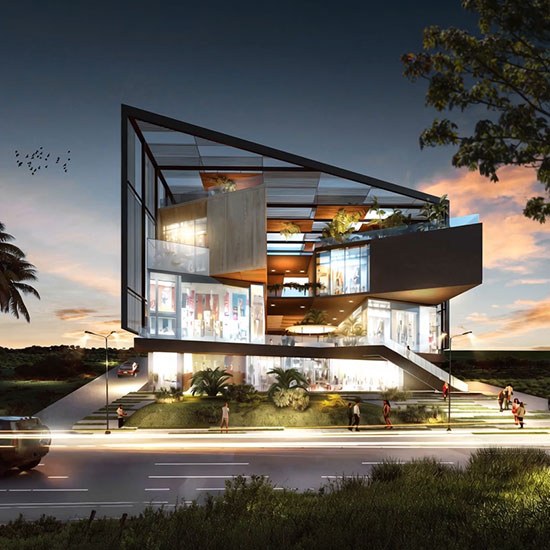
The plan also includes a civic facility at one of the main entrances to the development, reinforcing Downtown Ciudad Celeste’s role as a new urban center for the area and expanding its function as a gathering place for the community.
Conceived as a phased development, the masterplan is designed to evolve alongside the growth of Nuevo Samborondón without losing coherence throughout its implementation. The flexibility of its structure allows new programs to be progressively incorporated while ensuring continuity with the urban vision that shaped the project from the outset.
Downtown Ciudad Celeste consolidates an articulating piece between the existing urbanization and the future expansions of Nuevo Samborondón. Organized around the central park, its structure concentrates activity, manages transitions in scale, and extends urban life into an area that until now has been predominantly residential, introducing a new urban center conceived at a human scale.